
-
- Search
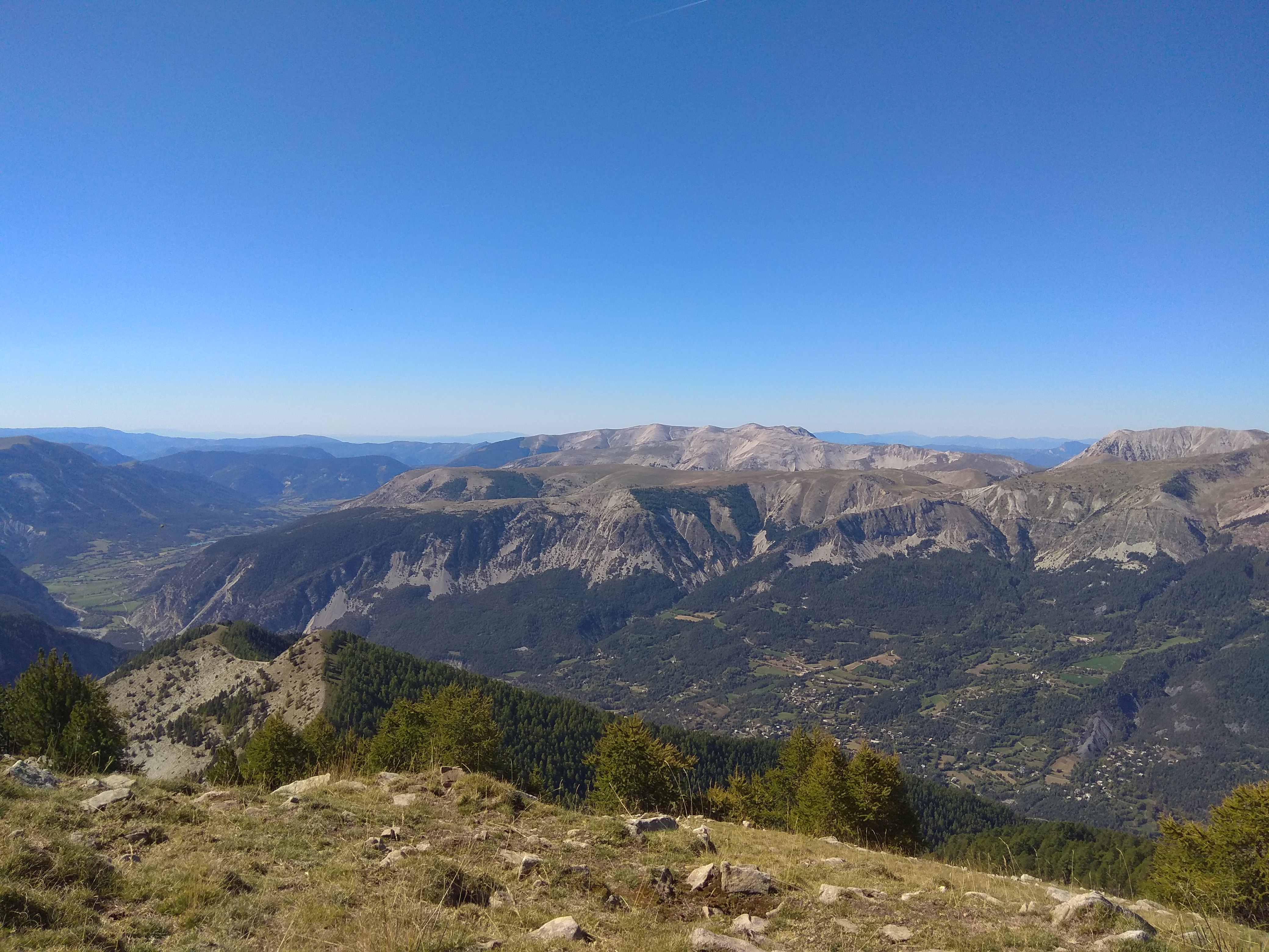
With its 360° panoramic view, the summit of Le Laupon offers a magnificent panorama of the region’s landscapes.
From the La Lance parking lot, head towards the rescue center and go around it to the left. Continue on a steep track through the Forêt de Monier towards Champ de la Bravaïre. At Champ de la Bravaïre, head for the Monier huts on the left and continue along a yellow-marked path until you reach the Pluhautière marker (1960m). Continue as far as the next intersection with Les Crouès (2070m), then turn left to follow the ridgeline to the Plateau de la Plaine.
When you reach the small Plateau de la Plaine, you have the summit of Le Laupon and its antenna in your sights. The trail continues along a small ridge before the final ascent. Even in snow, the path is clear. At the summit, a large cairn “competes” with the antenna. Admire Colmars and the view towards Val d’Allos, Autapie, Sommet de la Frema, Cairas and the Gorges du Verdon…
Return by the same route.
Possibility of starting from the Pont de la serre forest track, then branching off to the Monier track, accessible from Colmars-Les-Alpes: caution: bumpy 8 km forest track (allow 30 min. by car). Bring a vehicle with sufficient ground clearance. Camping-car access impossible.
This trail is open from June to October. Closed by a barrier in winter.
Yellow paint
1183m ( Positive : 1183m - Negative : 1183m )
Guidebooks : Map n°1 Verdon Tourisme 37 hiking trails Haut-Verdon Val d'Allos, TOP 25 IGN 3540 OT
Parking de la Lance
04370 Colmars-en
Altitude : 1240 m